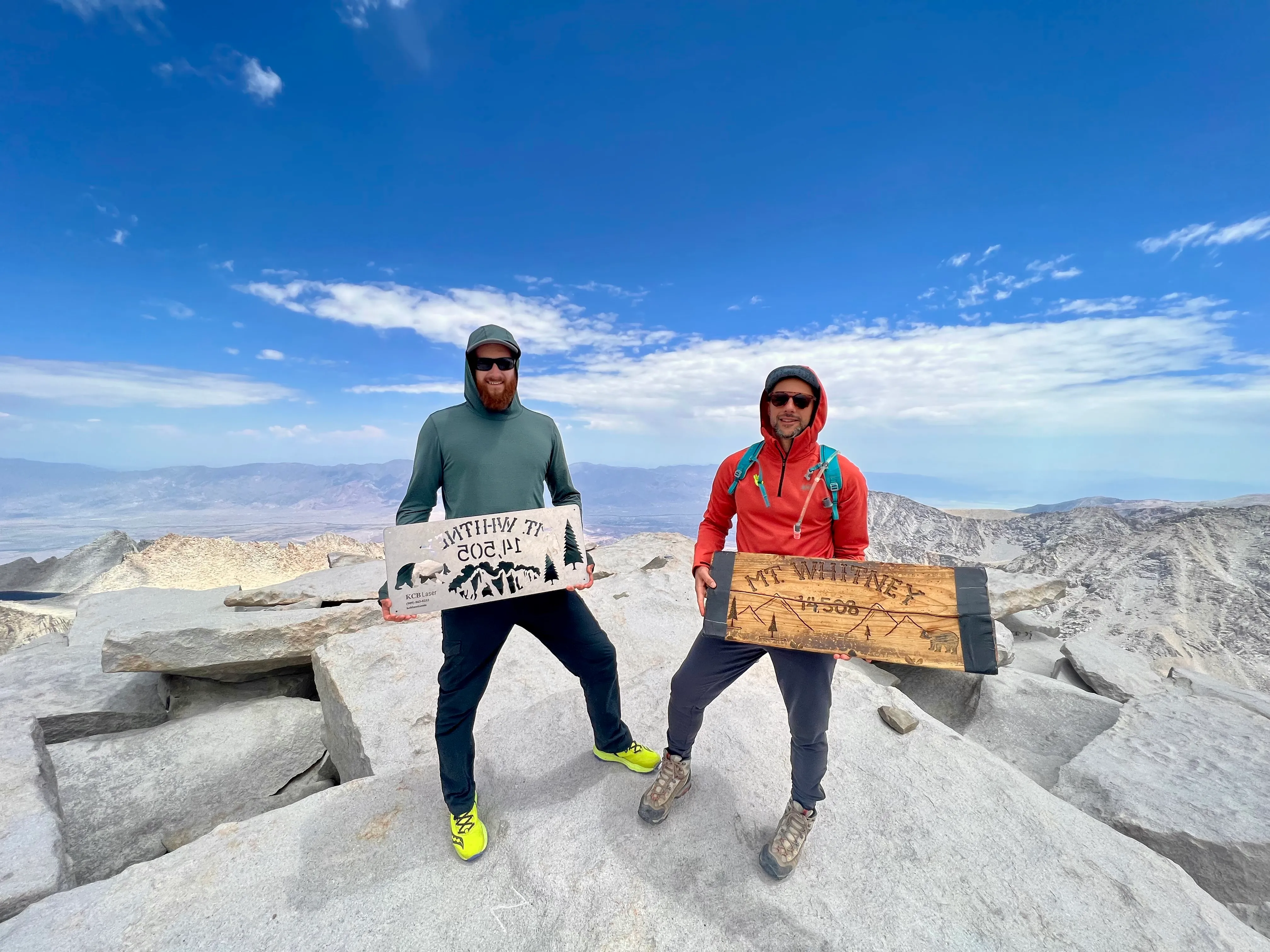
Summit of Mount Whitney, 14,505 ft, Sierra Nevada, July 2022.
Fourteen Five — Mount Whitney
San Diego to the top of the continental United States — with marmots, altitude sickness, one very cold lake, and a beer on Coronado Beach to close the loop.
July 29, 2022
- Mountain
- Mount Whitney
- Region
- Sierra Nevada
- Region Hub
- Sierra Nevada
- Route
- Mount Whitney Trail
- Elevation
- 14,505 ft
- Type
- Backpacking
- Location
- Inyo National Forest / Sequoia National Park, CA
- Duration
- 3 days
- Conditions
- Clear skies, altitude effects above 12,000 ft, altitude sickness on the summit push
Looking for broader equipment and systems notes? Browse the mountain gear notes .
- Trekking poles
- Layering system (it gets cold fast above Trail Camp)
- Supplemental oxygen
We drove out from San Diego, north through the Inland Empire and into the Owens Valley, the Sierra Nevada rising on one side like a wall and the White Mountains on the other. Four hours of mostly nonsense. That’s the right amount.
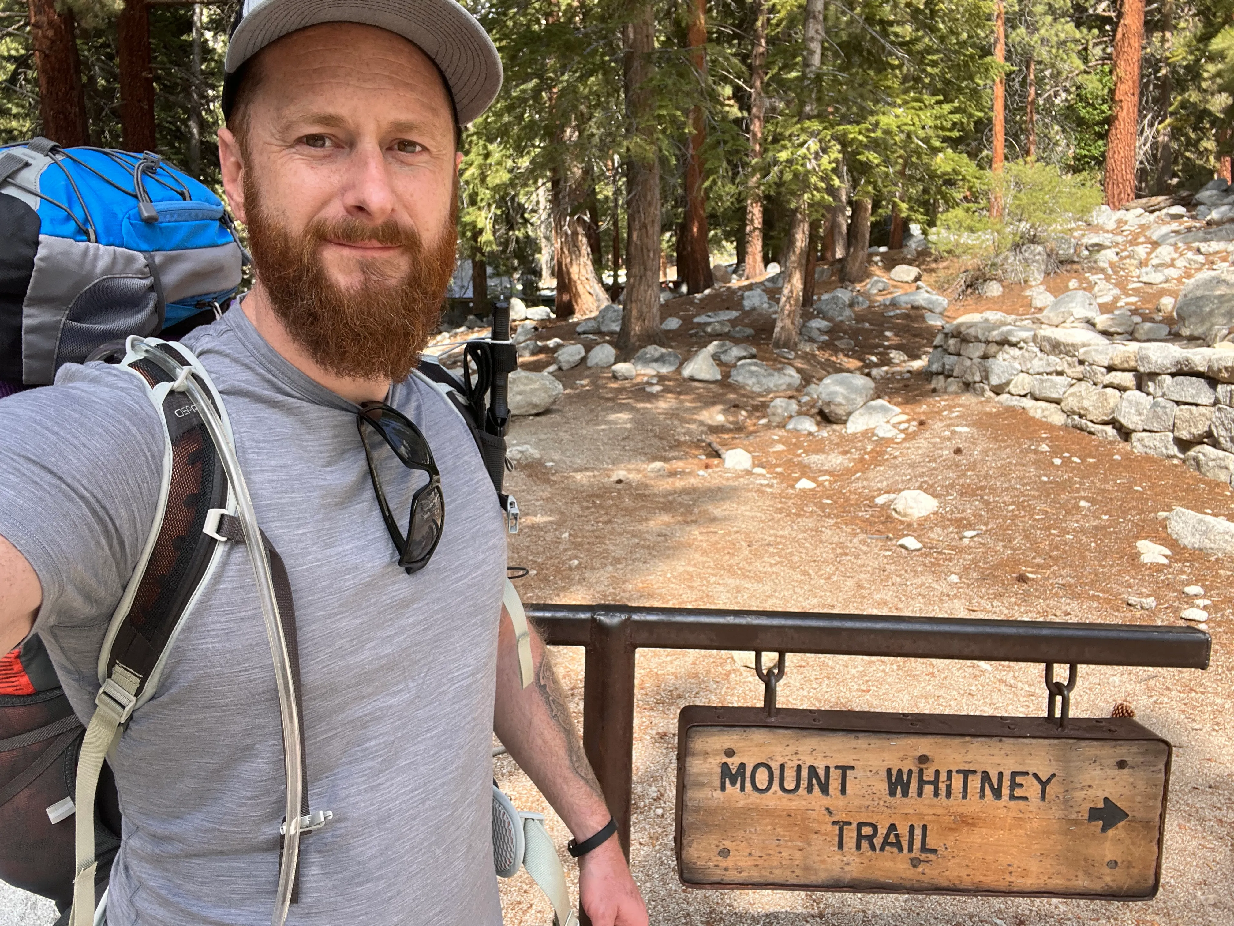
Whitney Portal
The road ends at 8,374 feet. Whitney Portal is a trailhead, a campground, a parking lot already half-full when we arrived in the morning. We started up in the light, the trail following Lone Pine Creek into the trees.
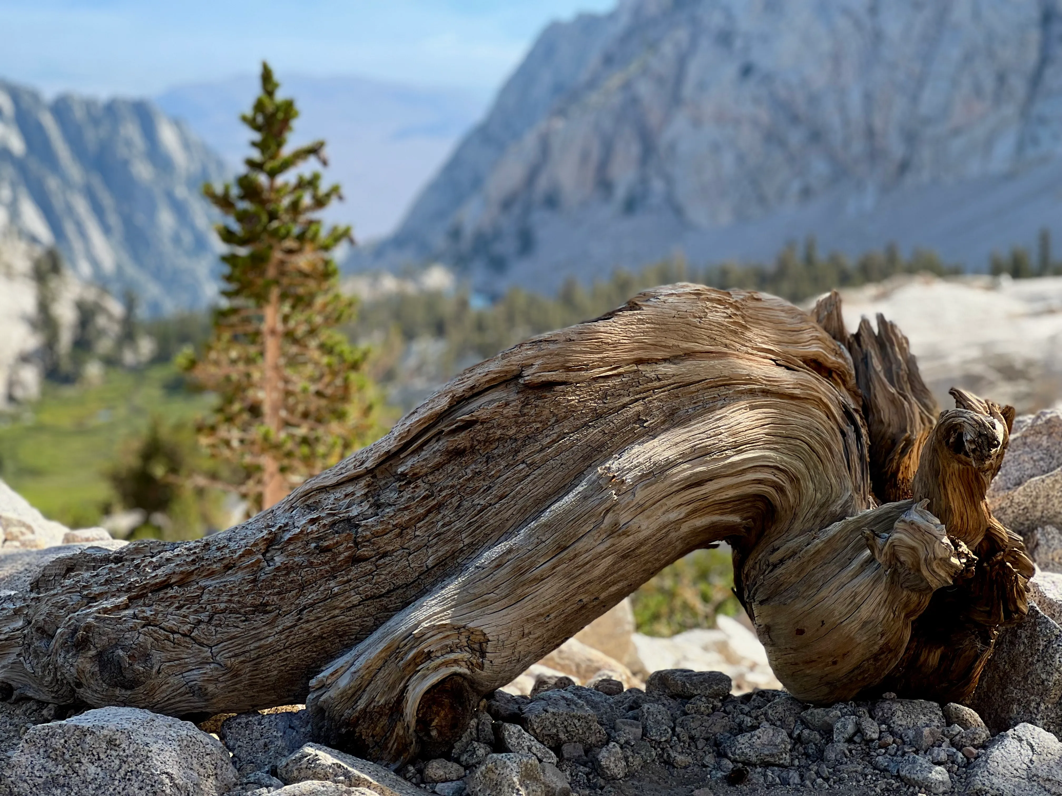
The trees were the first thing that got me. Old pines with bark so layered and ridged it looked almost structural — the kind of texture you want to put your hand on, which I did more than once. At lower elevation the forest holds you in. The creek runs beside you, the light comes through in columns, and the whole thing has a density that makes you feel like you’re walking into something rather than just up something.
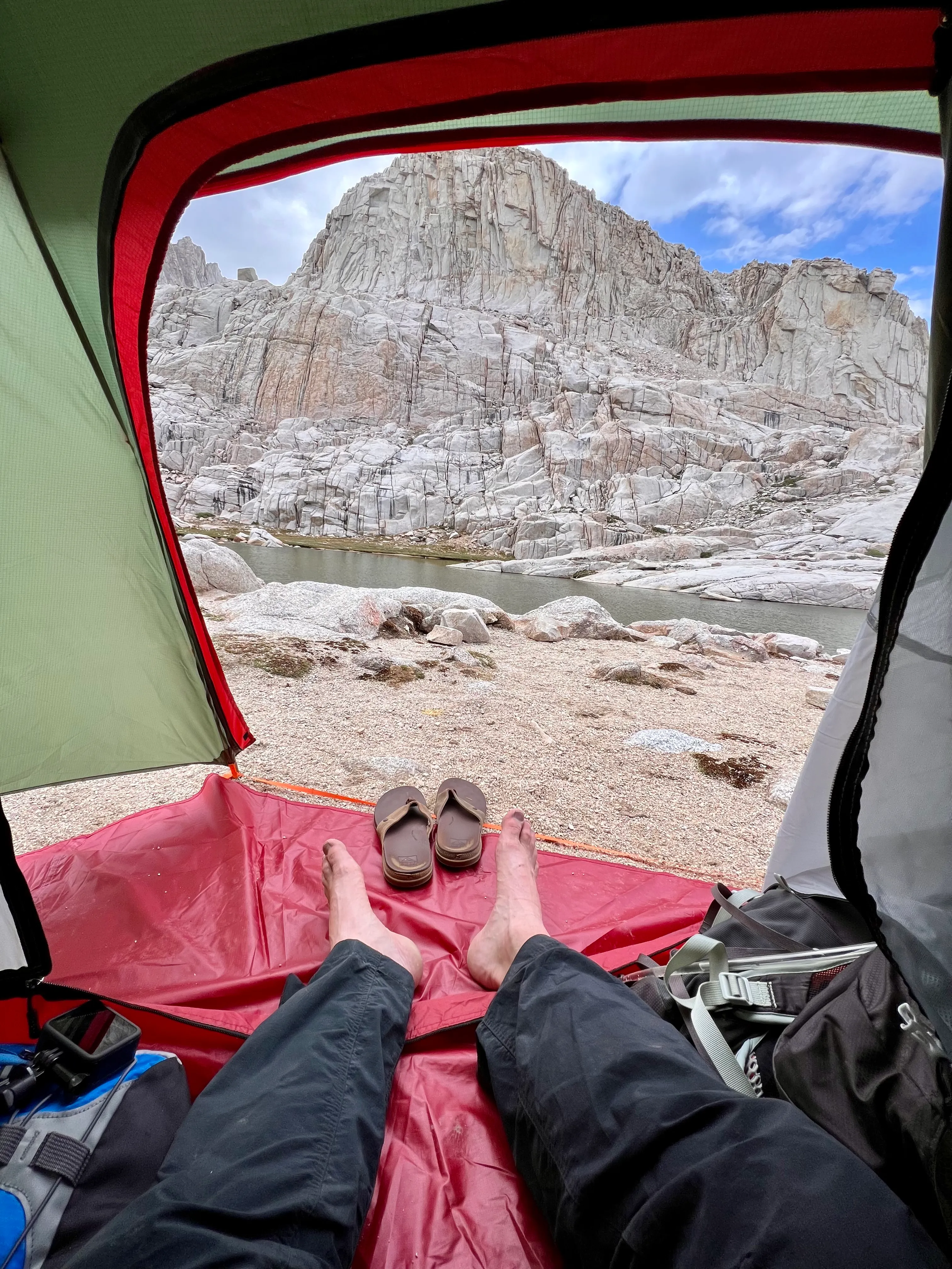
Trail Camp
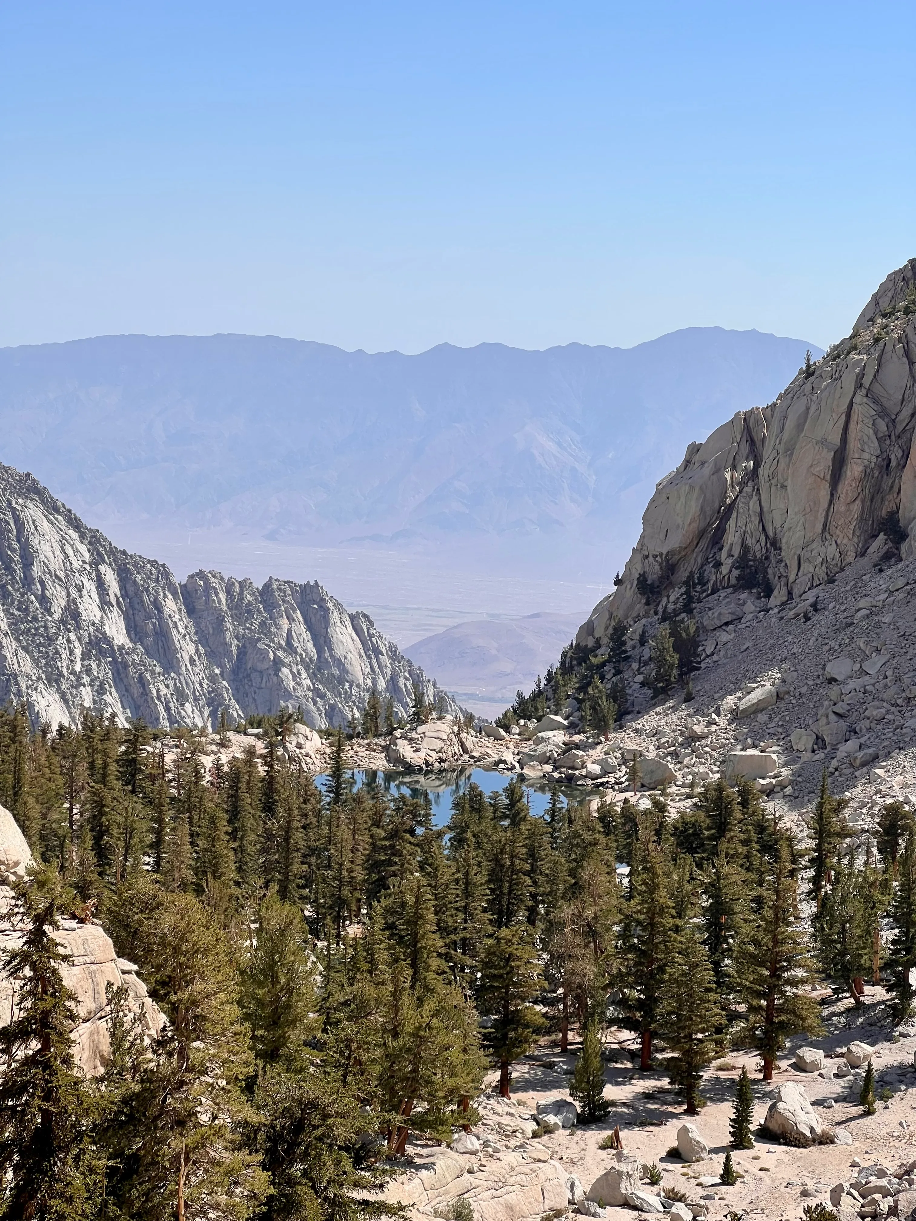
Trail Camp sits at just under twelve thousand feet on a shelf of compressed dirt and rock. You come over a ridge and the trees just stop. Not gradually — just trees, then no trees. Grey and rust-coloured talus, a shallow lake, and the marmots.
The marmots are everywhere up there. Fat, completely unbothered, sunning themselves on warm boulders while you grunt past with a full pack. They’ve done the altitude math and they’re winning.
We pitched our tents in the fading light, ate something, got in our sleeping bags early. There’s not much else to do at twelve thousand feet. Your body is already working harder than you realise just keeping you upright.
The 99 Switchbacks
The switchbacks above Trail Camp are exactly what the name suggests: a relentless series of tight turns up a steep chute. At altitude the effort-to-distance ratio feels broken. You stop more than you planned. Your head starts doing strange things — nothing dramatic, just a lightness behind the eyes, thinking that takes slightly longer than it should.
One of us hit the altitude wall properly above 13,000 feet — oxygen canister out, pulling on it like a full-time job, looking briefly genuinely mortal. We both still summited.
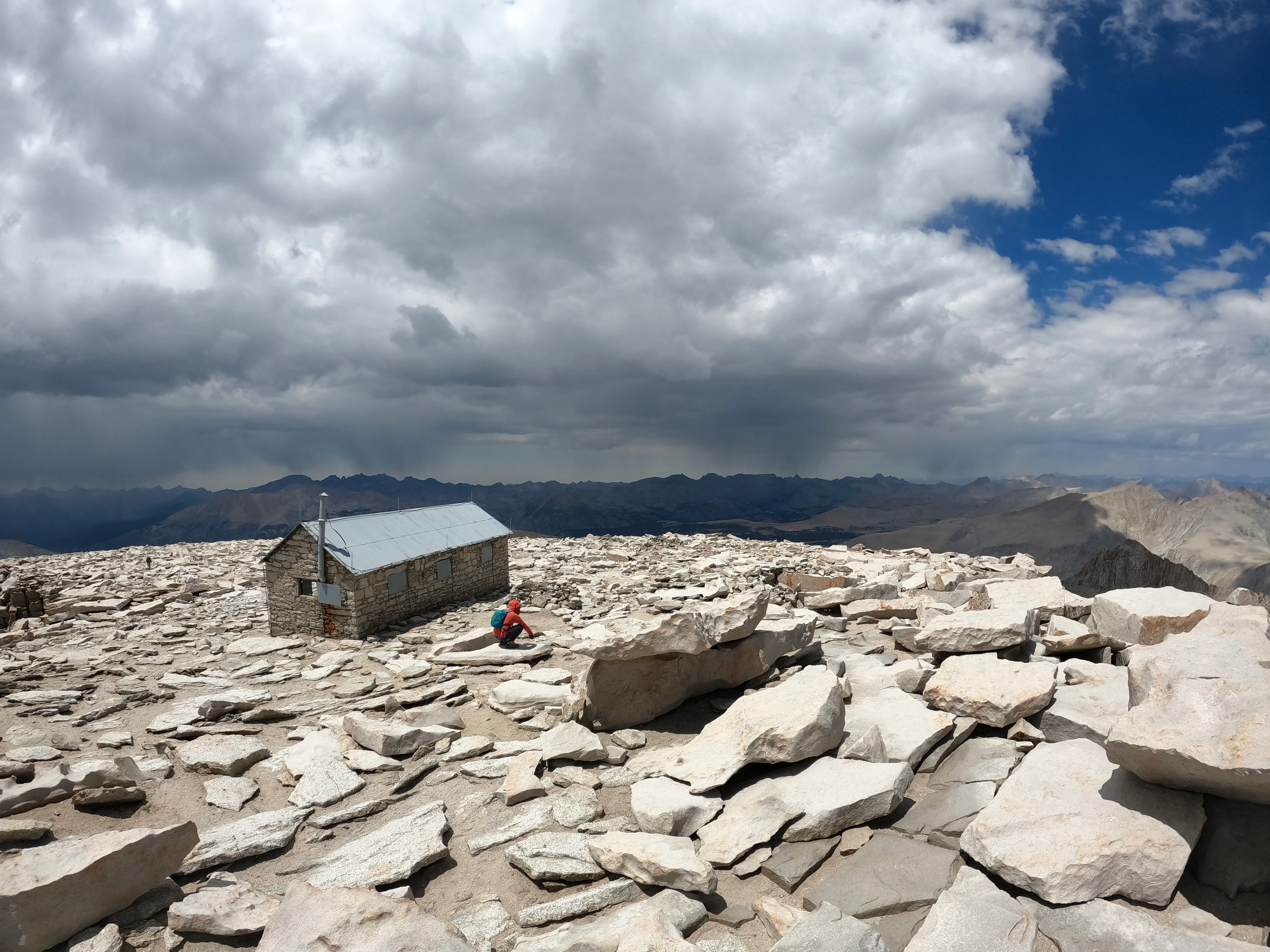
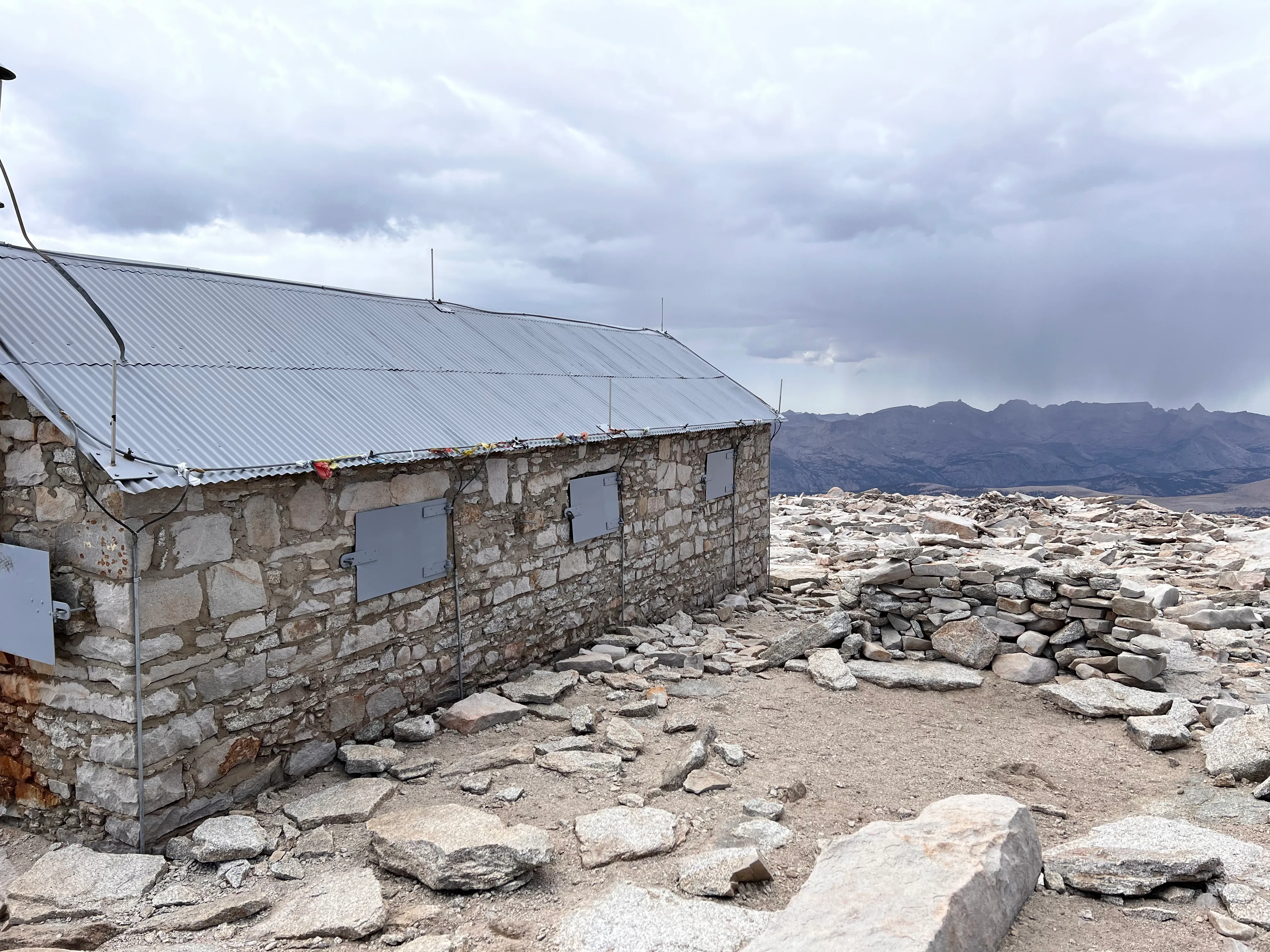
The Summit
Mount Whitney is 14,505 feet and the summit looks like a place that has been exposed to the upper atmosphere for a very long time. Shattered rock, no softness anywhere, views that extend until they stop meaning anything specific. We stood up there in the wind and ate something and said things to each other that felt significant at the time and probably weren’t.
You feel the altitude in a way that’s hard to explain — not just in the lungs. There’s a calm to it, a specific kind of delirium. The world below looks like a map of itself.
Lone Pine Lake
The descent was faster, gravity doing most of the work. By the time we reached Lone Pine Lake the afternoon light had gone long and golden. We looked at the lake. We got in.
Cold doesn’t cover it. The kind of cold that takes the breath out of you and then, thirty seconds later, forgives everything. We floated on our backs and looked up at the mountain we’d just been on top of, which already looked impossible from down here.
We drove back to San Diego and cracked a beer on Coronado Beach. Tired legs, the particular satisfaction of having been somewhere that asked something of you.
Whitney is not a technical mountain. The trail is well-marked, the route is obvious, and on a summer weekend you’ll share the switchbacks with a lot of other people. None of that changes what the top of it looks like — shattered, windswept, another world entirely — or what the swim back down feels like.
Worth the drive.
Filed under
Keep Reading
Get the next trip report
If this one landed, the next will too. Follow by email, RSS, or Instagram depending on how you like to keep up with mountain writing.
Email updates
New posts straight to your inbox. No weekly filler. No spam.
Prefer the full follow page? Visit Subscribe.
Loading comments…